
LATEST NOTICES
Successfully Conducted the Drone Survey for Spatial Data gathering at the University of Kelaniya premises for mapping purposes
- Social Sciences
- Posted On
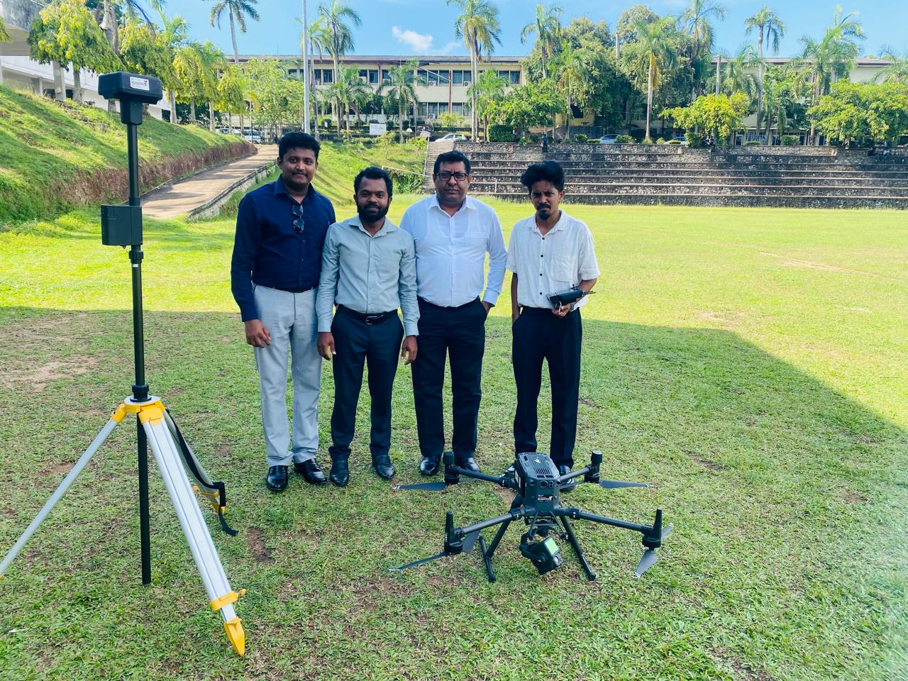
The Visual Management Committee of the University of Kelaniya successfully conducted a comprehensive drone survey on the 13th and 14th of October 2025, marking the first phase of the University’s mapping and visual management initiative.
The survey, which covered the main university premises (Dalugama), the Faculty of Medicine (Ragama), and the Faculty of Computing and Technology (Bulugaha Junction), was carried out using high-resolution aerial imagery and LiDAR technology. The data collected will be utilized to create detailed university spatial maps that support infrastructure planning, landscape management, and the development of the university.
This initiative was conducted under the supervision of Prof. Nishan Sakalasooriya, Chairman of the Visual Management Committee, with overall coordination by lecturer, Mr. Indunil Ranwella. The project received technological support from Sumathi Information Technologies Pvt. Ltd. (SIT) and the Department of Geography, University of Kelaniya, whose collaboration was instrumental in ensuring the success of drone operations and data processing. All necessary approvals for the operation were obtained from the Civil Aviation Authority and the Ministry of Defense, ensuring full compliance with national aviation regulations.
The Visual Management Committee extends its sincere appreciation to all academic and non-academic staff members who supported and cooperated during the survey sessions, enabling smooth and efficient drone operations across the university premises. This successful drone mapping marks an important milestone in integrating modern geospatial technologies into the University’s visual management and development strategies.


